
Full Breakdown
Glacial Lake Outburst Flood Ravages Bhutan’s Gasa District and Triggers Cross-Border Alerts
By Drooid · · How we work
In this breakdown
01
Core Event
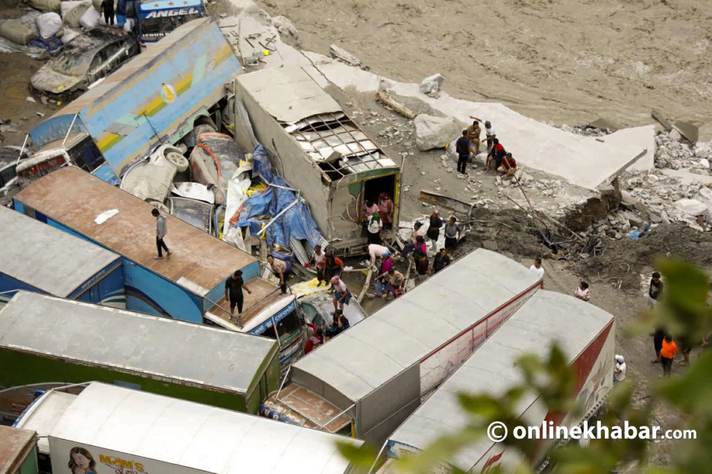
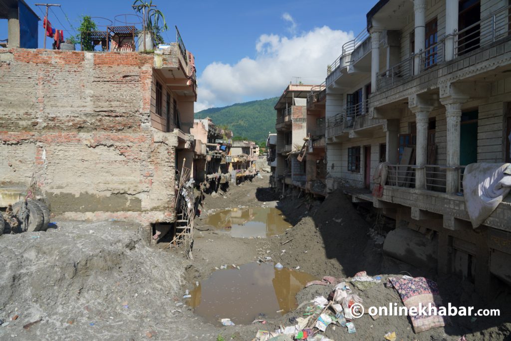
On the night of October 30, a glacial lake outburst flood (GLOF) from Shintaphu Lake in Bhutan’s north-western Gasa district surged into the Mo Chhu River. The flash flood washed away infrastructure at the Gasa Tshachu hot springs, destroyed two Bailey bridges, and damaged a solar-powered irrigation lifting system in Punakha district. Roads to the village of Laya and a section of the Punakha-Gasa Highway became impassable. No human casualties have been reported.
Watch
Related reporting
brightcove
Bhutan hot springs hit by flood from glacial lake burst
02
Background & Context
Shintaphu Lake is one of Bhutan’s 17 glacial lakes identified as potentially hazardous. The lake feeds the Mo Chhu, which becomes the Sankosh River after crossing into India. A similar flash flood hit Gasa Tshachu on August 26, 2021, when the swollen Mo Chhu altered its course. Glacier retreat is expanding such lakes, raising the risk of future outbursts.
Visual evidence
Images from the story




03
Data & Statistics
- Water released: ? 7.4 million m³ (Water Resources Investigation and Development Minister Nisith Pramanik).
- Evacuations in India: 4,000-5,000 people placed in temporary shelters; > 6,000 relocated to safer areas (West Bengal officials).
- Infrastructure loss: Two Bailey bridges, a section of the Laya-Punakha road, part of the Punakha-Gasa Highway, and a solar irrigation system.
- Hydropower response: Punatsangchhu-II Hydropower Project shut down generating units and opened dam gates to lower reservoir levels.
04
Impact on Communities and Facilities
The loss of the hot-spring facilities removes a major tourist attraction in northern Bhutan. Damage to the solar irrigation system threatens local agricultural water supply. Blocked road sections isolate Laya Gewog, cutting off vehicular access. Downstream, flood warnings were issued for five districts in India’s West Bengal and Assam, prompting evacuations along the Sankosh basin.
05
Official Statements & Responses
- Bhutan Broadcasting Service (BBS): Reported no injuries and noted darkness and strong currents hampered immediate assessment.
- National Centre for Hydrology and Meteorology (NCHM): Continues to monitor water levels in the Mo Chhu at Tashithang and Yebisa, with siren systems activated downstream.
- Indian authorities: West Bengal’s Alipurduar Superintendent of Police Amit Kumar Shaw urged residents not to panic and confirmed coordination with Bhutanese officials. Forest Minister Manoj Kumar Oraon and Darjeeling MP Raju Bista issued safety advisories; the National Disaster Response Force deployed personnel to Cooch Bihar districts.
06
On-the-Ground Reports
Military personnel, government employees and residents in the Gasa Tshachu area were evacuated to higher ground before the flood. Punakha Central School relocated all boarding students. Local leaders confirmed the solar irrigation system had ceased functioning; full damage assessment is ongoing.
07
Conflicting Reports & Gaps
- Lake-burst confirmation: Bhutanese officials suspect Shintaphu Lake as the source, but no official confirmation has been issued; circulating photographs have not been verified.
- Damage extent: BBS and Kuensel described the damage as “unknown” due to night-time conditions, while other outlets reported specific infrastructure losses. Comprehensive assessments are pending.
08
Verbatim Quotes
- “Everyone living in the catchment areas of the Sankosh river and all its connected tributaries has been asked to move to a safe distance immediately to protect their lives,” — Nisith Pramanik, development minister
09
What’s Next
The NCHM will keep monitoring river levels, and Punatsangchhu-II will maintain lowered reservoir levels to accommodate downstream flow. Indian district administrations will continue operating evacuation shelters and early-warning sirens along the Sankosh River. Further assessments of road and irrigation infrastructure in Bhutan are scheduled once floodwaters recede.