
Full Breakdown
Bhutan Glacial Lake Outburst Flood Triggers Trans-border Alerts
By Drooid · · How we work
In this breakdown
01
Core Event
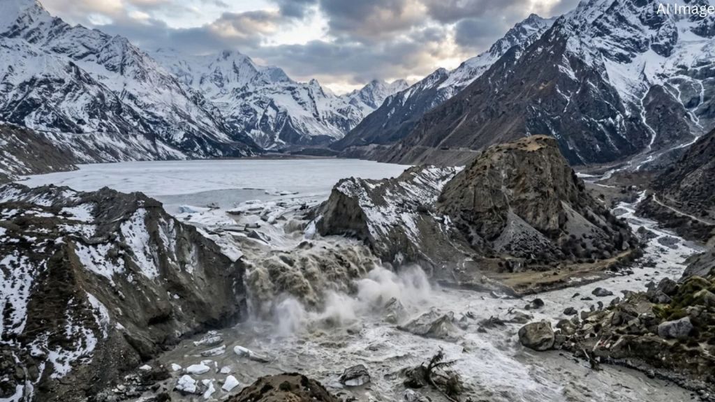
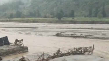
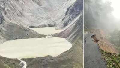
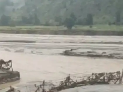
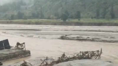
On the evening of October 29, 2026, the glacial lake at Sintaphu (also reported as Shintaphu) in Bhutan’s Gasa district breached its moraine dam. The surge entered the Mo Chhu river, reached the downstream confluence at Taktsemakhang around 8 p.m., and washed away the Gasa Tshachu hot-spring complex, a section of the Punakha-Gasa highway and a Bailey bridge built in 2022 with Indian support. No human casualties were reported in Bhutan or India.
02
Background & Context
Sintaphu is one of Bhutan’s 17 glacial lakes identified as potentially dangerous. The Hindu Kush Himalaya region has seen a rise in such lakes as glaciers retreat, a trend linked to warming temperatures. Prior Himalayan GLOFs include the Sikkim event of 2023 and the Nepal floods of 2026, underscoring the trans-border vulnerability of downstream communities.
Visual evidence
Images from the story



03
Data & Statistics
- Outburst released an estimated 7.4 million m³ of water.
- Damage in Bhutan: loss of the Gasa Tshachu complex, destruction of a highway section, and washing away of the Bailey bridge.
- Indian authorities reported water-level rises of nearly two feet in the Sankosh River and a 1.5 m increase in some districts. The Central Water Commission recorded a level of 45.95 m at 3 p.m. in Alipurduar.
- Evacuation figures: West Bengal moved over 10,000 people to shelters; the Union Water Resources Ministry cited around 12,000 relocated from Alipurduar’s riverine stretches.
04
Official Statements & Responses
The Indian Embassy in Bhutan reported the GLOF to the CWC, prompting a special flood advisory on October 29 for West Bengal and Assam. The advisory warned floodwaters could reach the India-Bhutan border within six to eight hours.
Prime Minister Tshering Tobgay visited Laya to assess the newly formed lake at Taktsemakhang. Industry, Commerce and Employment Minister Namgyel Dorji monitored the situation in Punakha.
West Bengal Chief Minister Suvendu Adhikari said the water level was “currently below the danger level” and that authorities had “kept watch” through the night.
Assam Chief Minister Himanta Biswa Sarma affirmed continuous monitoring of vulnerable revenue circles in Dhubri and Kokrajhar and confirmed disaster-response teams were on standby.
05
On-the-Ground Reports
Local residents in Alipurduar described the evacuation as swift but unsettling. State Forest Minister Manoj Oraon coordinated relocation from Kumargram and Tufanganj, establishing 18 flood shelters in schools.
06
Conflicting Reports & Gaps
- Evacuation numbers: “over 10,000” vs. “around 12,000.”
- Water-level rise: “nearly two feet” vs. “1.5 m.”
- Volume released: “7.4 million m³” vs. “approximately 74 lakh m³.”
- Downstream impact: No major damage or casualties confirmed in Indian districts, but monitoring continues.
07
Why It Matters
The GLOF shows how high-altitude glacial hazards can become trans-border emergencies, threatening infrastructure and livelihoods across the Himalayan foothills. Damage to Bhutan’s road network and hot-spring tourism highlights economic exposure, while rapid water-level spikes in the Sankosh River raise flood risk for agricultural zones in West Bengal and Assam.
08
What’s Next
The CWC’s Flood Forecast Monitoring Directorate will continue issuing advisories to Alipurduar and Dhubri districts. Bhutan’s National Centre for Hydrology and Meteorology is monitoring water levels at Taktsemakhang and has warned of possible secondary hazards. State disaster-management teams in both Indian states remain on high alert, with NDRF and State Disaster Response Force units positioned for rapid deployment.